Watauga County Historical Maps
- Watauga Online Maps Page
- Source for Old Maps Online
The county maps on Watauga Online's webcite are a great resource and record of the region as it was in the mid-19th century.
1800s Maps


This map shows Watauga County as it was in the mid-19th century, highlighting mountains, rivers and roads.
1900s Map

Updated boundaries and additional infrastructure mark the development of the county into the 20th century.
Watauga County Map
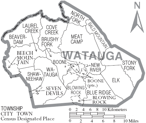
Watauga County Township map includes census designated places witin the county.
from North Carolina GIFs