Thank you for visiting Yadkin NCGenWeb!
Please note we are not part of Yadkin County’s government system.
Yadkin County was created in 1850 out of Surry County (see parent county link to the right), and named for the Yadkin River, which runs through it as it carves its way through the western piedmont, eventually emptying into the Pee Dee River.
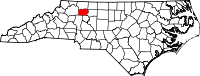
Yadkin County is in the northwestern piedmont section of the state. Its current neighbors are Forsyth, Davie, Iredell, Wilkes, and Surry counties. (See the neighbor county links in the right-hand column.) Stokes also joins Yadkin at its northeast corner.
If you want to explore Yadkin’s ancestors and their records, Yadkin’s parent county Surry was created in 1771 out of Old Rowan County, and Rowan was created in 1753 out of Old Anson County. Anson, in its turn, came out of Bladen County in 1750. Bladen came from New Hanover in 1734, New Hanover came from Craven in 1729, and Craven came from Bath in 1696. Bath was one of the original NC counties, and it was abolished in 1739. While it would be rare for a non-Native American family to be in the Yadkin geographical area before the mid-1700’s, remember that the records stay with the county which had jurisdiction when the record was created. You may want to have this handout on NC County Development available (the code numbers are for the Archives catalog system).
The present land area is 335.93 square miles and the population in 2010 was 38,406.
The first court was ordered to be held at Dowellton, at which time the justices were to adjourn to any place they wished until a courthouse could be erected. Commissioners were named to select a site for the courthouse as near the center of the county as possible. Also, they were to acquire land and lay off a town by the name of Wilson. In 1852 an act was passed changing the name for Wilson to Yadkinville. Yadkinville is the county seat.
We want to thank Cristy Fisher, the previous County Coordinator, for her past work on the site.
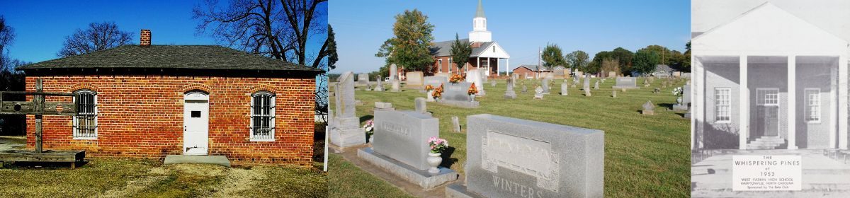
Header image credits: 2nd Yadkin County Jail, Mitchell’s Chapel United Methodist Cemetery, and the 1952 Whispering Pines High School yearbook.