Return to Hyde County
![]()
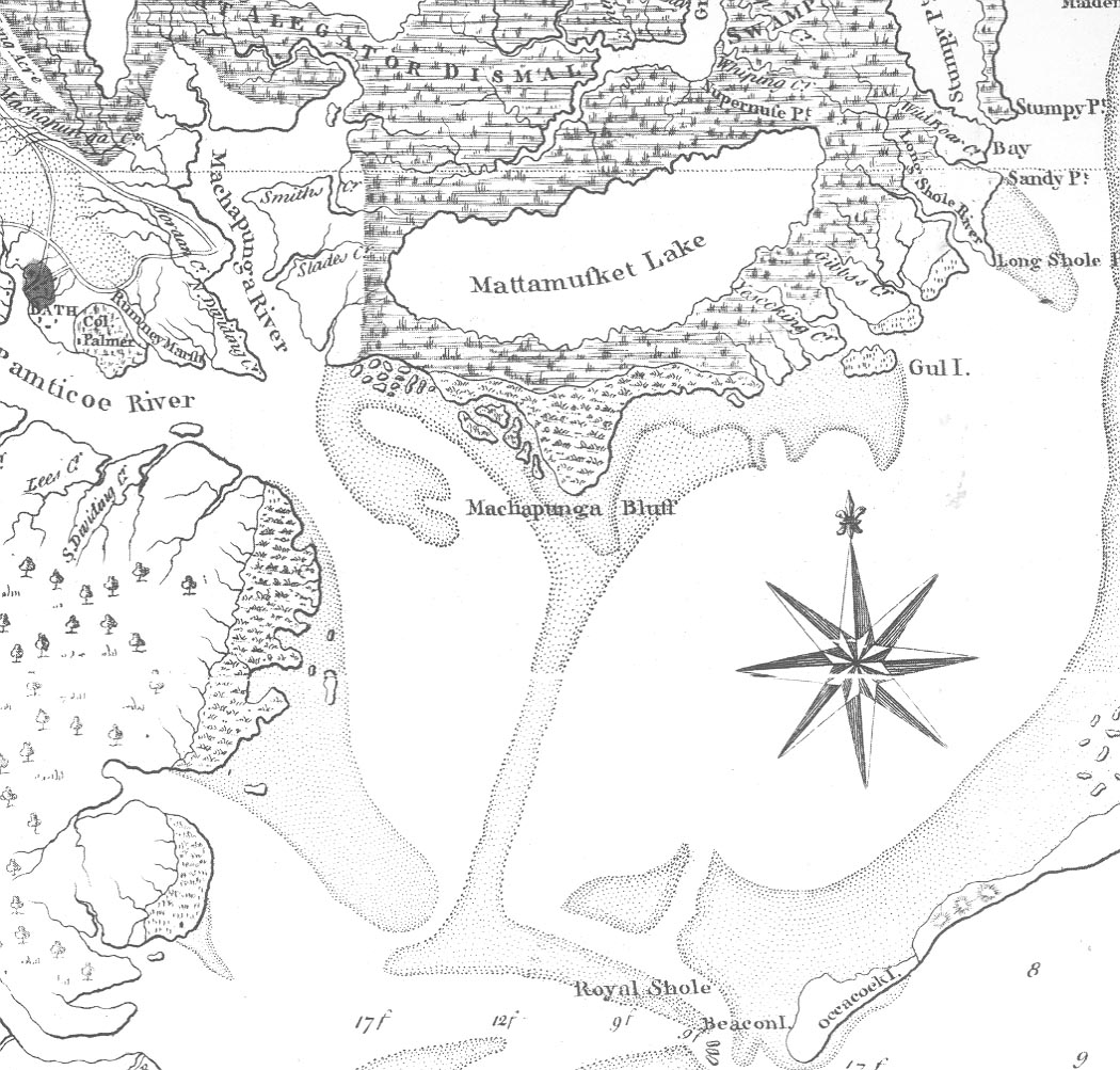
John Collet Map - 1770
Permission to use portions
of this map given
by the
North Carolina
Dept. of Archives & History (Publications Dept.)
![]()
Collet's is one of the major maps in the history of North Carolina cartography because it greatly surpasses in accuracy and scope any previous map of the region, because it records the great western movement of population up to and across the Piedmont during the middle of the eighteenth century, because it is the original basis for most subsequent maps of North Carolina from its appearance until the Price-Strother map of 1808, and because Bayly, the engraver, executed his work with skill and artistry.
 |
![]()
|
|
© 2008 McGowan/Sheppard