
The maps listed here have been gleaned from a wide variety of sources. If you have a map that you'd like to share, please contact the webmaster.
|
|
|
|
|
|
|
|
|
|
|
|
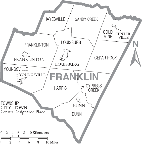
Current Day Townships
LINKS TO MAPS
Maps of
North Carolina
interactive
formation map
Old & Historical State & County Maps of North Carolina
North Carolina Digital Maps Collection: Franklin County
Franklin County Map: 1840-1868
Historic Map of Louisburg, 1882
Franklin County Map: 1906
includes townships with District Number
designations
Historical Old
Granville Co. from which Bute-Warren-Franklin-Vance were formed
(Shows locations of families & buildings from 1741-1931; excellent for identifying locations over the years)
Crooked Creek Plats-pre-Franklin Co. 1764
Colonial
Families in Granville Co. 1746; includes Franklin Co.