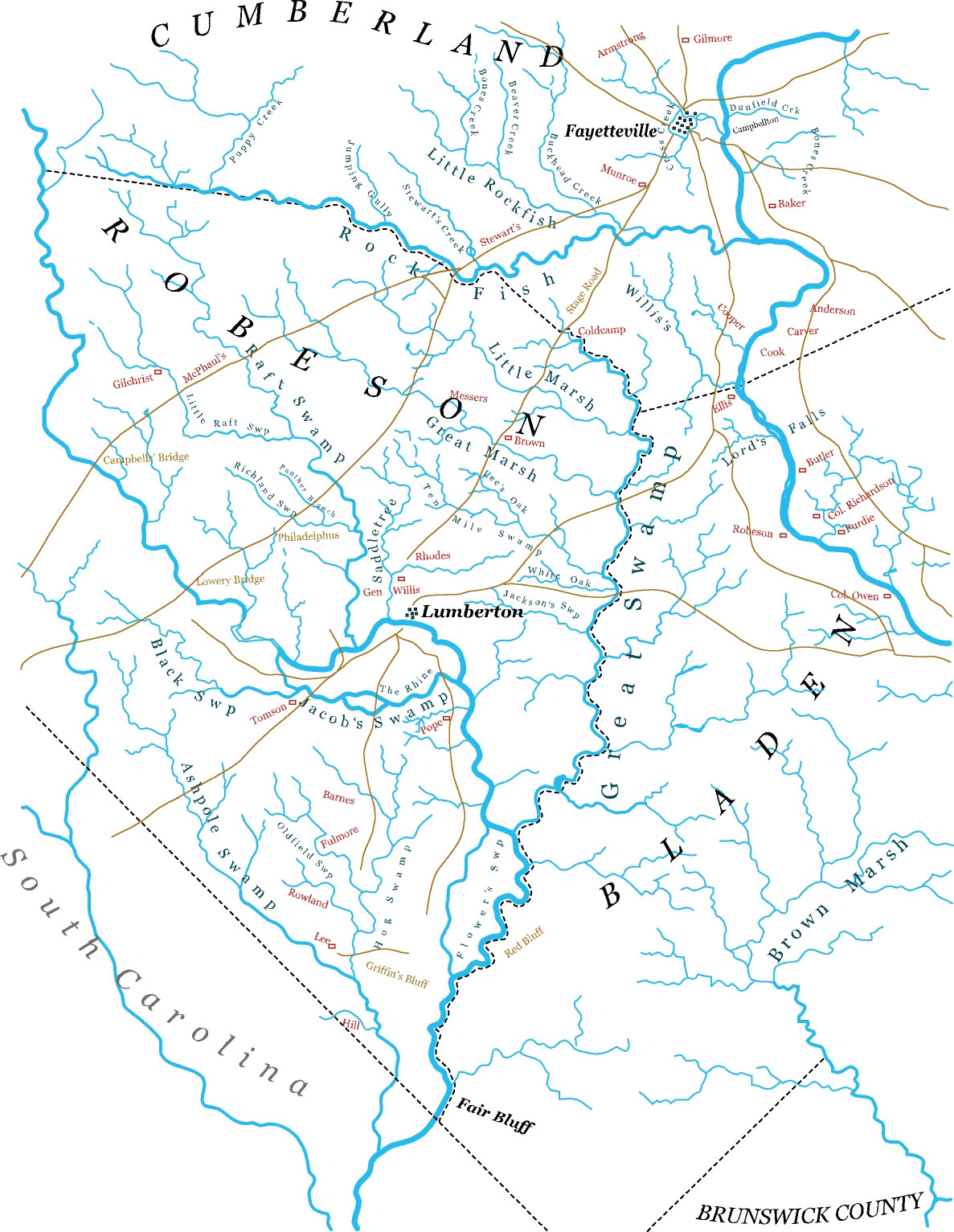
This excellent map is contributed by Steve Edgerton Posted June 05, 2004 by Myrtle Bridges
"I scanned the Strother's map from a copy I found in the Robeson County Register and traced and redrew it in one of my graphics programs. It covers most all of Robeson, but covers lower Cumberland and various roads coming out of Fayetteville." Steve
 |