 |
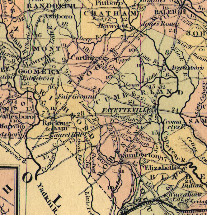 |
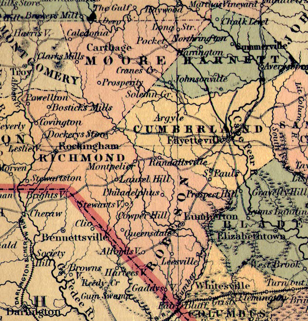
Steve Edgerton found and scanned the Cumberland, Richmond, Robeson, Moore, and Harnett
region for this site from a full map of NC. It was printed in 1855.

A second map printed in 1850 shows the same area from the following map: A New Map of NTH. CAROLINA
with its CANALS, ROADS & DISTANCES from place to place along the STAGE & STEAM BOAT ROUTES.
|
|