Growth of a Nation
This new link, above, is really great, with a narration telling the story of the history and background of each state.
Old Chatham County Maps
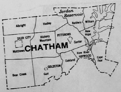
TOWNSHIP MAP OF CHATHAM COUNTY
CHATHAM MAP - 1870 (divided into 4 maps, slow loading)
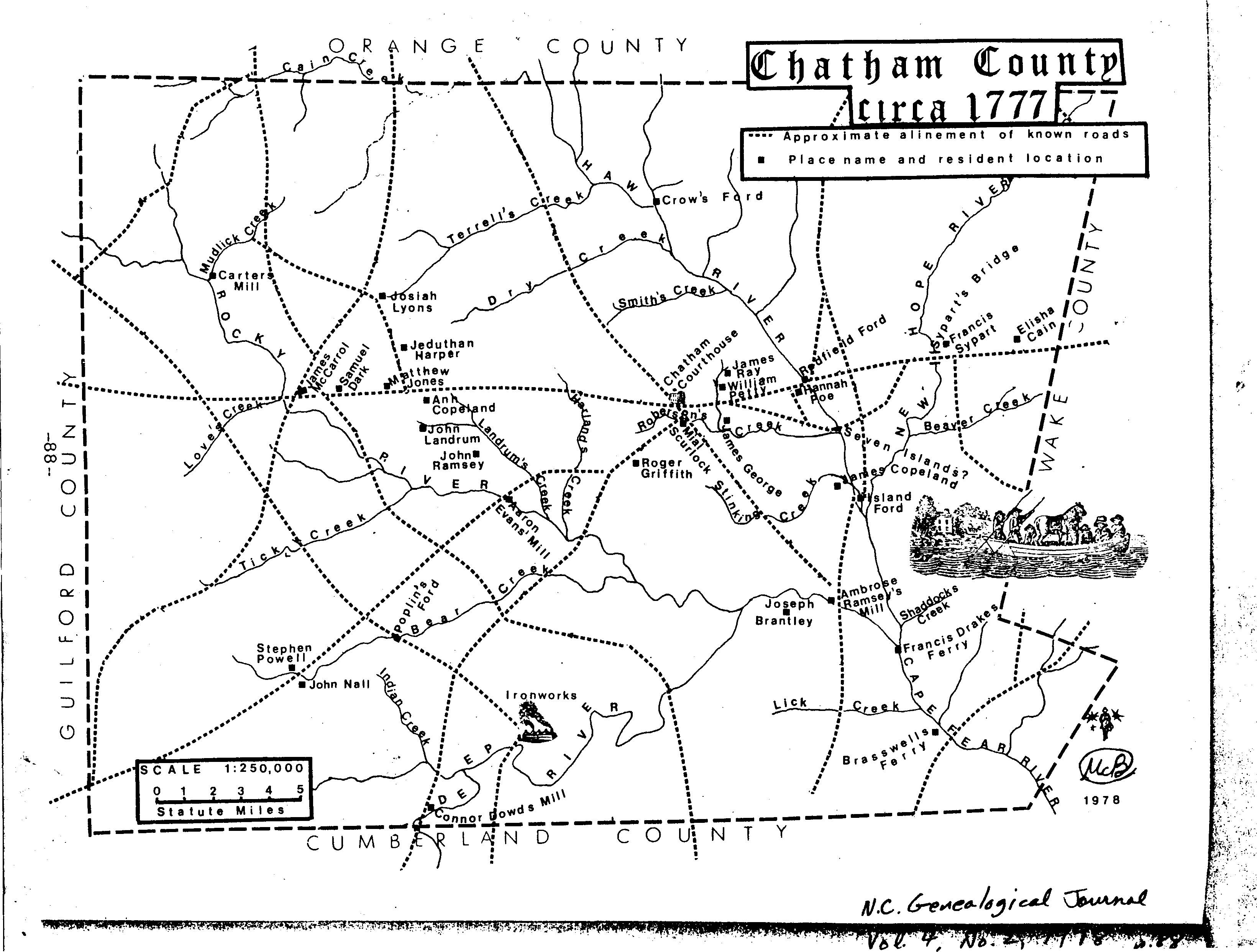
CHATHAM OLD TRAILS AND CREEKS - 1770'S
CHATHAM CO GIS MAPPING WEBSITE
North Carolina Maps
Interactive NC Formation Map NEW !!
1841 Map of NC NEW !!
1845 Atlas of NC (updated link)
OLD NC MAP (WITH WATERWAYS)
State Map of NC - Paths and Trails - 1660-1775
U.S. Maps Current and Colonial
COLONIAL MAPS OF THE U.S. U. of GA -
(Hargett Collection)
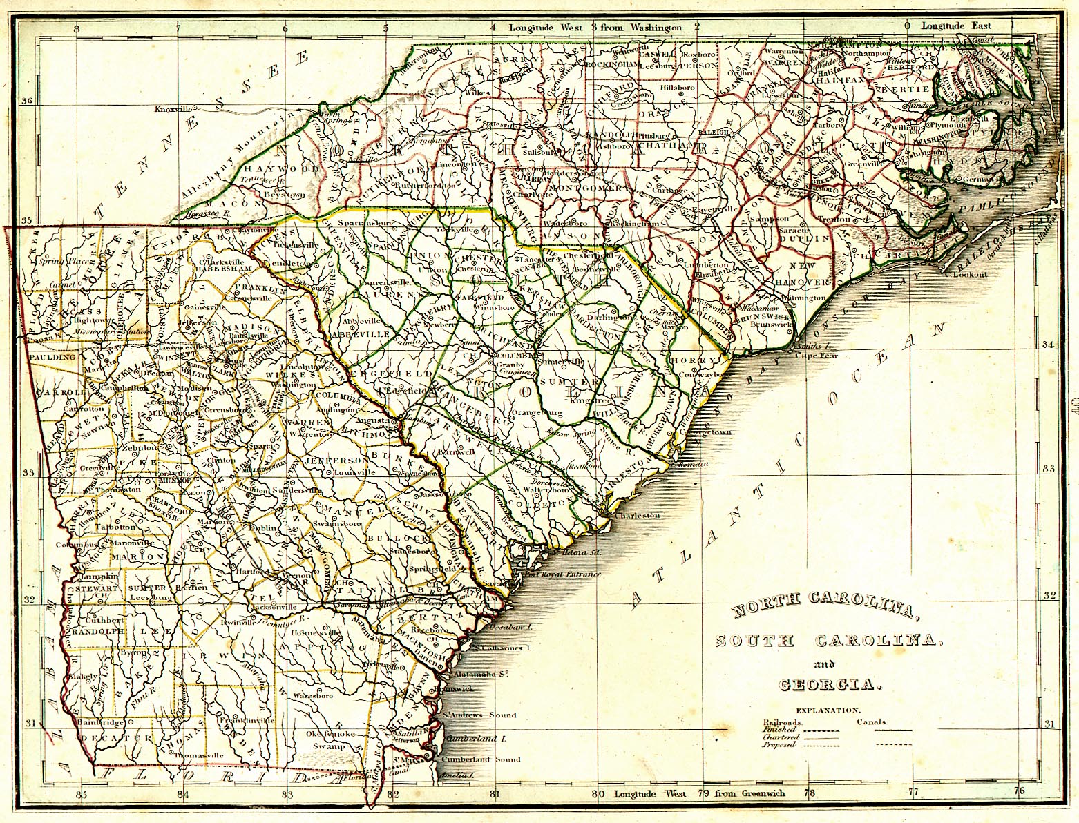
EARLY NORTH CAROLINA SOUTH CAROLINA & GEORGIA MAP
Highway
Maintenance Map of Chatham Co. - 1980![]()
You can enlarge to read fine points and be sure to look at sheet 2, for all the towns
NCCourthouse Maps
and Information about them