Chatham County Formation Maps
All, but, the last map are courtesy of AniMap Plus, an historical atlas and software
==============================================================================================
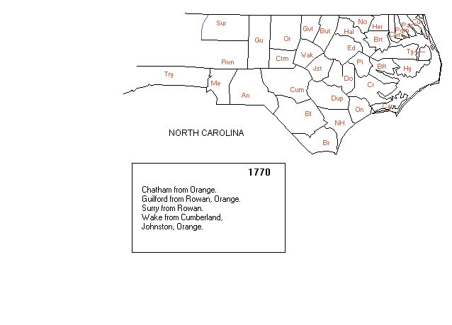
This first map is what Chatham (Ctm) looked like in 1770, when created from Orange Co.
Notice Cumberland (Cum) was the southern bordering county. Wake is to the east and Guilford to the west. They were created at the same time as Chatham. The box, below gives all the counties created in 1770.
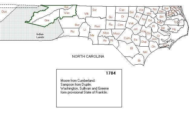
This Map is what all of NC looked like in 1784 before TN was made a state.. Now, Moore Co. (Moo) has been created from Cumberland Co.
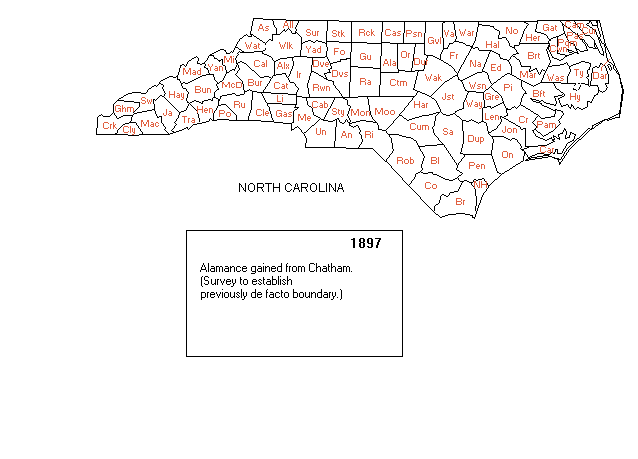
This is NC in 1897 and although Alamance Co. (Ala) was created in 1849, from Orange,
it has now been given some of the NW portion of Chatham.
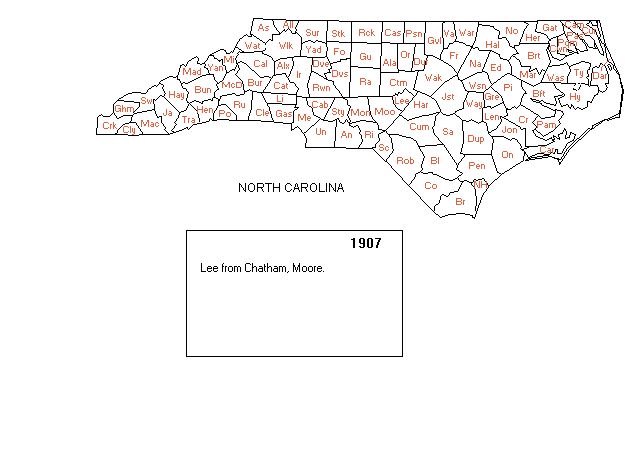
This is what Chatham looks like in 1907 and now. You will see that the north boundary of Lee Co. has been been create from the southern portion of Chatham and the boundary is the Deep River, Gulf and Cape Fear Rivers.
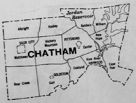
And, of course, this is the close up of Chatham that is above and gives the townships